Coverage milestone · · Released
New Westminster gets a dedicated parcel map.
The New Westminster map connects individual lots with their zoning reports and the city’s district reference pages.
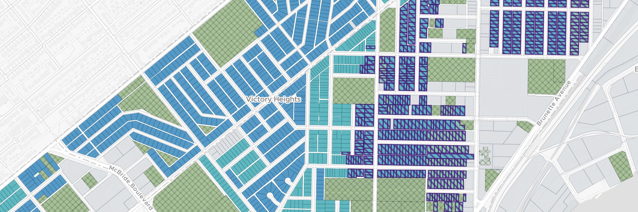
New Westminster joined the ZoneScout map lineup with a dedicated city view and report navigation. You can browse the neighbourhood around a property, select its parcel and continue into the zoning report.
The addition connects a visual first look with the details behind an address. Use the map to find the property, then read the available figures and conditions in the report before deciding which questions to take to the city.
The city’s zoning directory also provides district reference pages. That makes it easier to move between the property you are researching and a broader explanation of its zoning, using links within the same site.
What this coverage includes
- A dedicated New Westminster map and address lookup.
- Parcel selection connected to the lot-report workflow.
- A city zoning directory for district-level research.
Use the report to understand a lot’s conditions. A mapped unit figure is part of an initial zoning review, rather than a design or building approval.
Open the New Westminster map to start with a property, or browse the zoning directory when you already have a district code in mind.