Coverage milestone · · Released
Nanaimo joins the ZoneScout map.
Our Vancouver Island coverage grows with a Nanaimo parcel map, address reports and a guide to the city’s residential zoning.
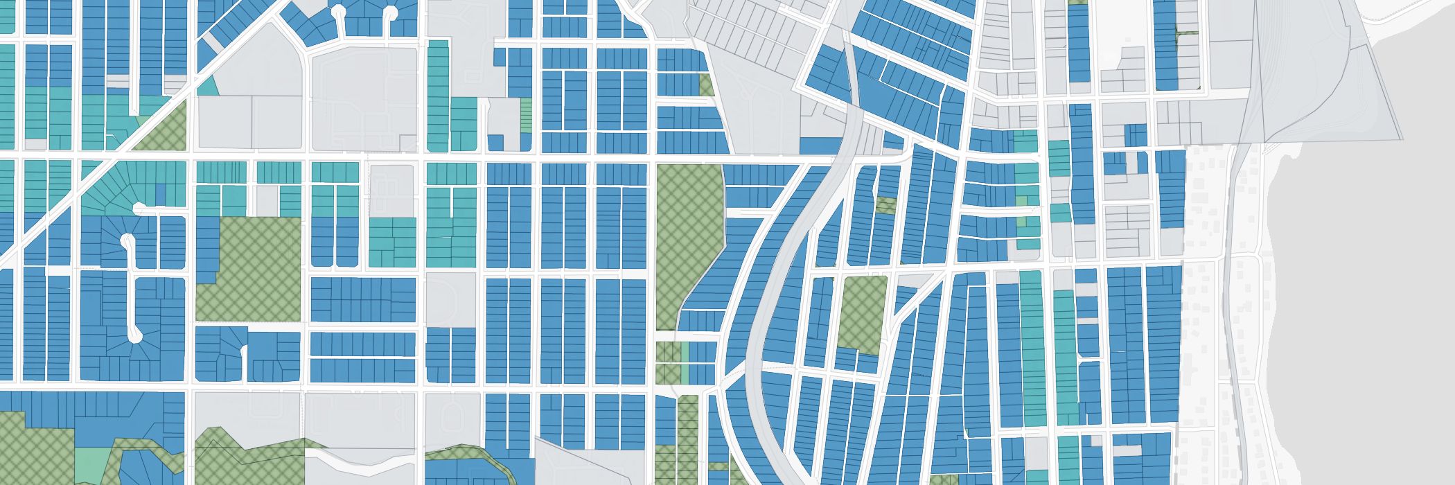
Nanaimo brings another Vancouver Island market into ZoneScout. You can explore the city’s mapped parcels, select a property and continue into an address report, with a dedicated city guide for a broader introduction.
The aim is to make the first look at a Nanaimo property more useful. Start with the lot on the map, then read the zone, the available development figures and the conditions shown in its report. The parcel view gives you context that a zone code on its own cannot provide.
The coverage also includes a Nanaimo zoning directory, so you can move from an individual address to the relevant residential district. It gives homeowners and agents a connected route through the map, the report and the zoning reference pages.
What this coverage includes
- A dedicated Nanaimo map with selectable parcels.
- Address reports with the available zoning figures and property conditions.
- A Nanaimo zoning directory and plain-English city guide.
Map colours are the starting point. Read the property’s report for the conditions behind the figures, and confirm a development proposal with the City of Nanaimo.
If you own, list or are considering a property in Nanaimo, start with an address you know. The city map and guide are linked below.