Coverage milestone · · Released
Port Coquitlam is on the map.
A dedicated Port Coquitlam map brings parcel browsing and the address-report workflow together in one city view.
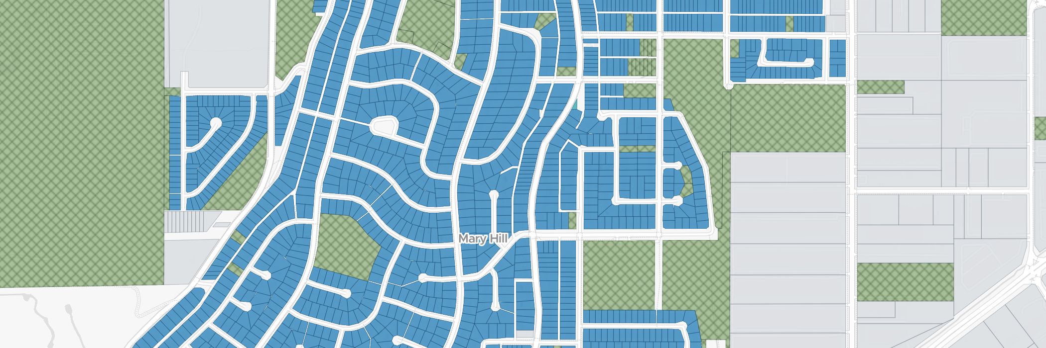
Port Coquitlam gained its own ZoneScout map, giving owners, buyers and agents a visual starting point for a property enquiry. Browse the parcels around an address and select the lot you want to investigate.
The city view connects with the report workflow, so a Port Coquitlam property stays in its own municipal context as you move from the map to the zoning information. It is a more direct way to investigate a listing than starting with a district code alone.
Use the city’s zoning directory for another perspective on the property. Together, the map, report and reference pages let you move between a neighbourhood view and a more specific zoning question.
What this coverage includes
- A dedicated Port Coquitlam parcel map.
- Address navigation connected to the city’s zoning reports.
- A Port Coquitlam zoning directory for further research.
A dwelling count needs to be read with the permitted building form and the conditions for that lot. Confirm your proposed project with the City of Port Coquitlam.
Try an address you know on the map, then use its report to identify the next questions for your property research.